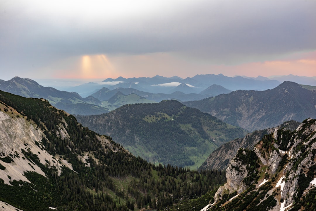
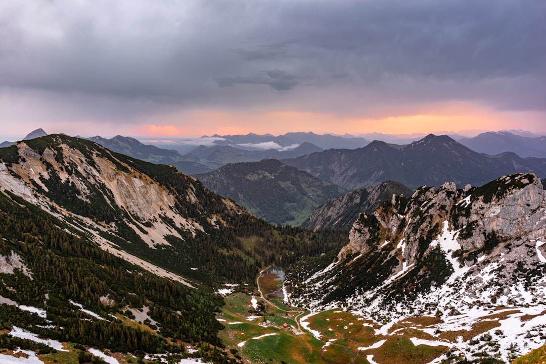
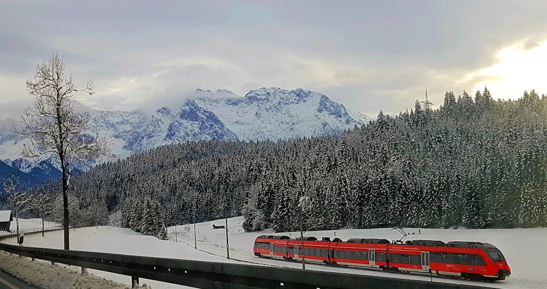
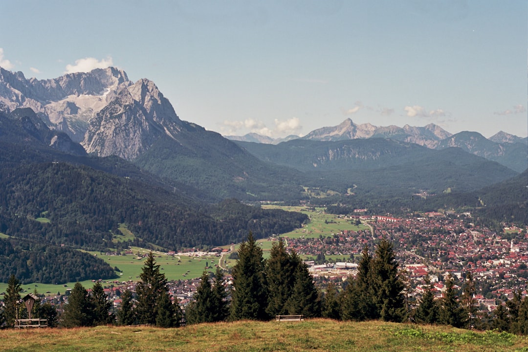
The Best Hill station Photo Spots around Wolfratshausen in Germany
Explore Hill station pictures of Wolfratshausen with the travel spots on a map
Download the Travel Map of Germany on Google Maps here
23 Hill station Spots of Wolfratshausen on a Map
Pictures of Hill station on the interacive map of Wolfratshausen
Download On Google Maps 🗺️📲Hill station Spots and Pictures around Wolfratshausen
Discover popular destinations in Wolfratshausen with their travel guides
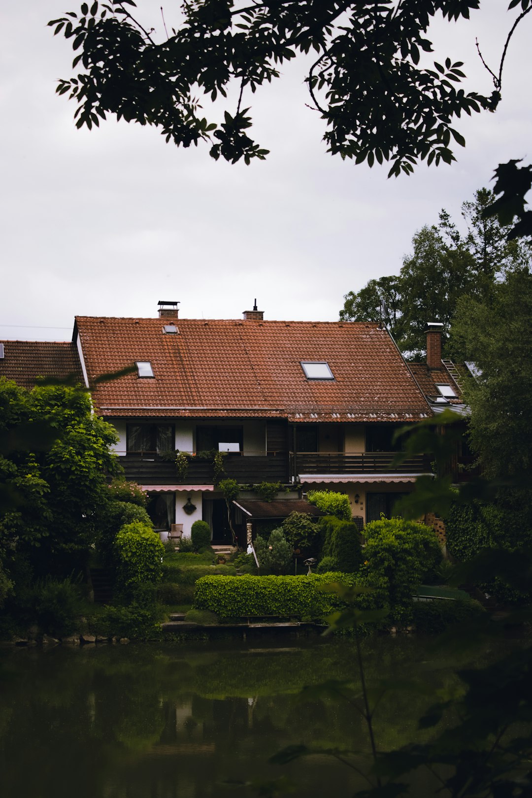
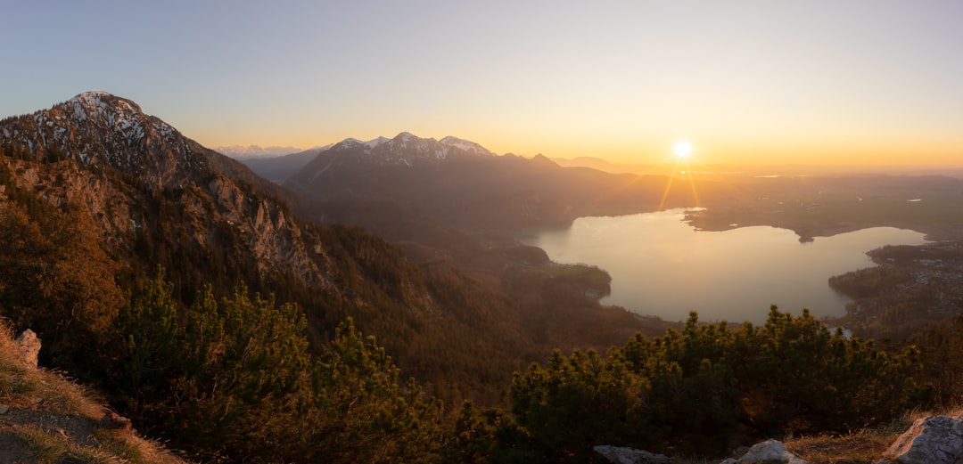
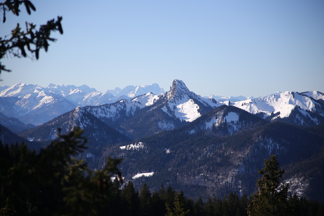
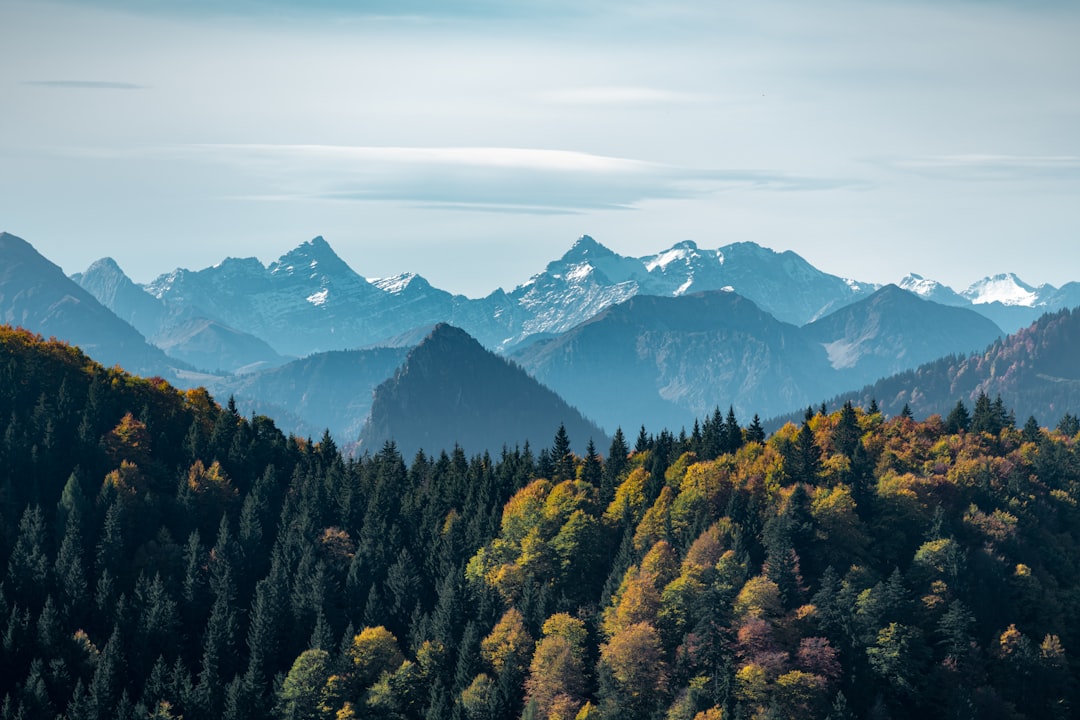
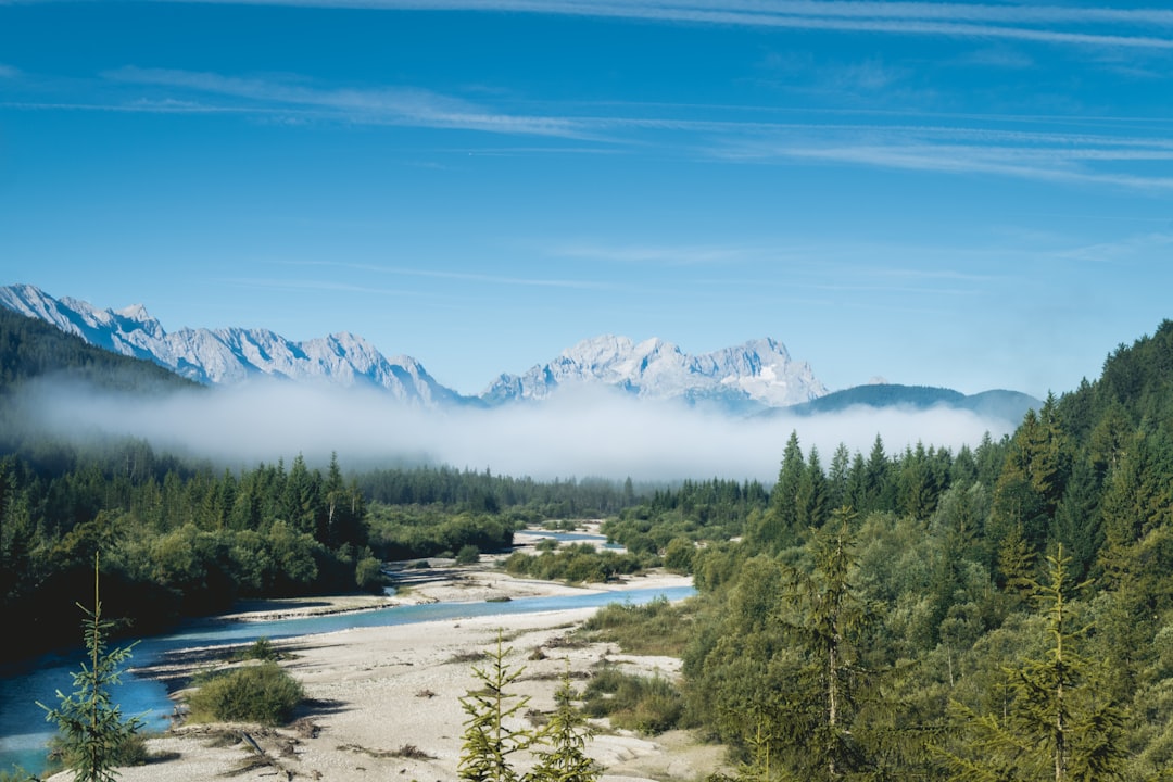
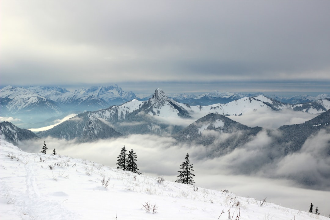
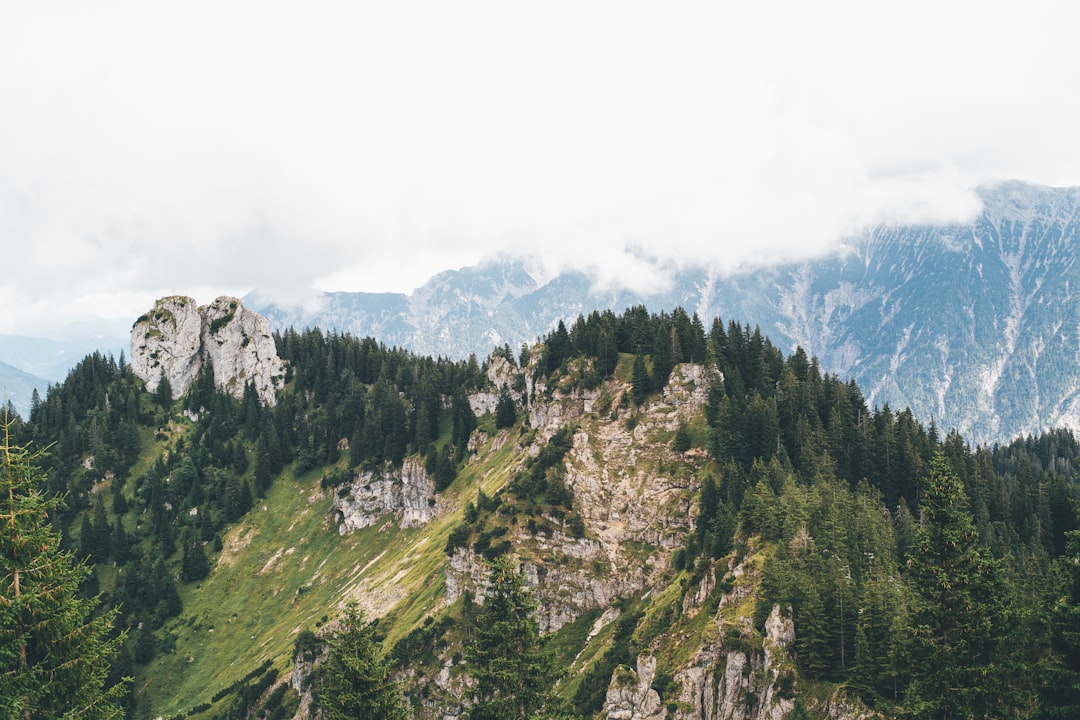
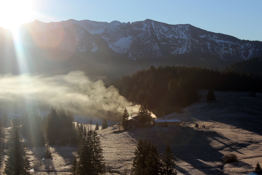
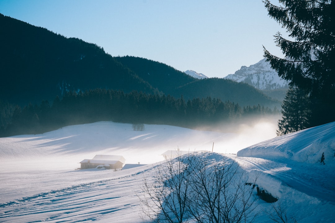
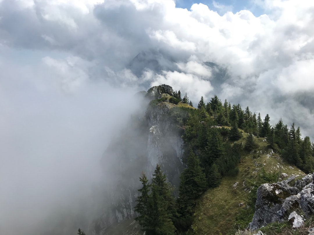
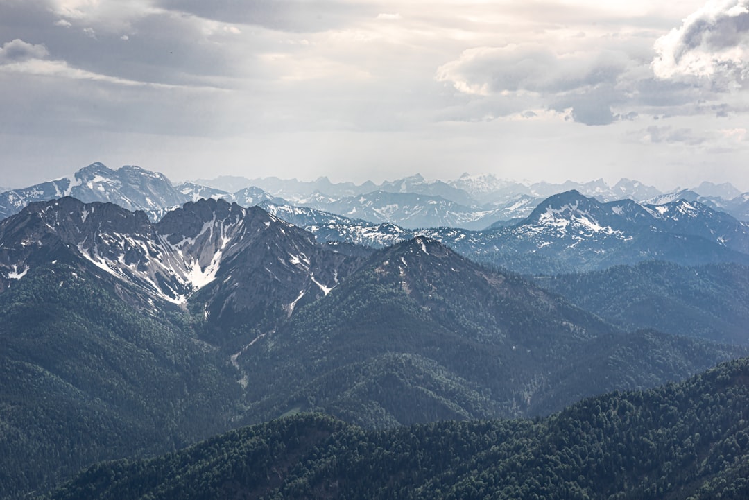
Wolfratshausen
Read the Travel guide View on Google Maps
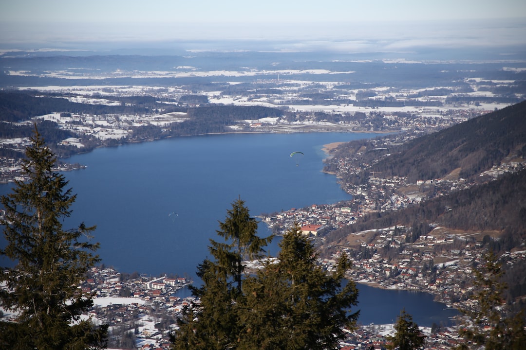
Kochel am See
28 km away from Wolfratshausen
Read the Travel guide View on Google Maps
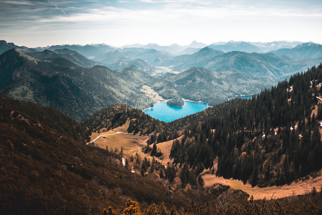
Sonnenspitz
30 km away from Wolfratshausen
Read the Travel guide View on Google Maps
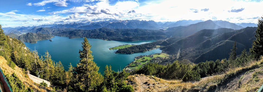
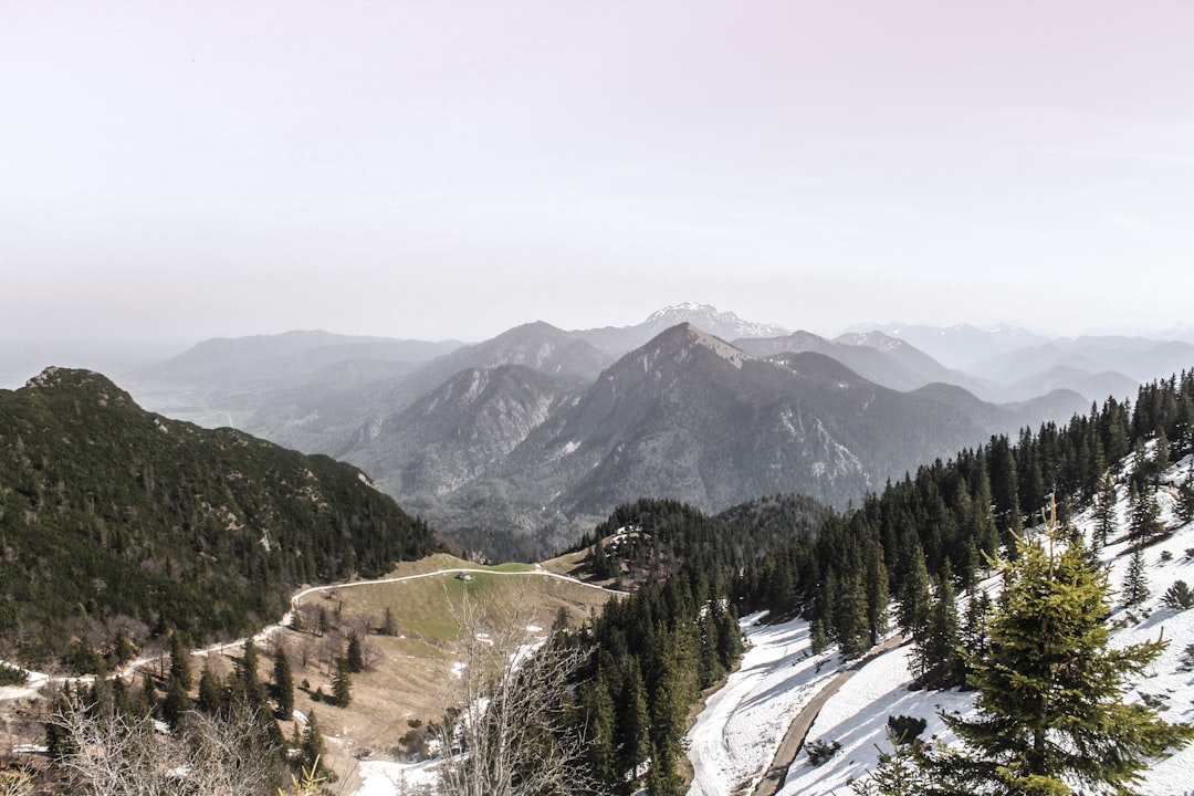
Kochelsee
30 km away from Wolfratshausen
Read the Travel guide View on Google Maps
Jochberg
32 km away from Wolfratshausen
Read the Travel guide View on Google Maps
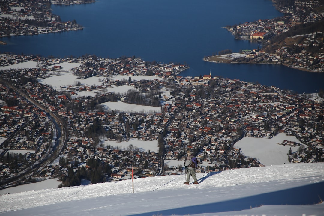
Tegernsee
33 km away from Wolfratshausen
Read the Travel guide View on Google Maps
Walchensee
34 km away from Wolfratshausen
Read the Travel guide View on Google Maps
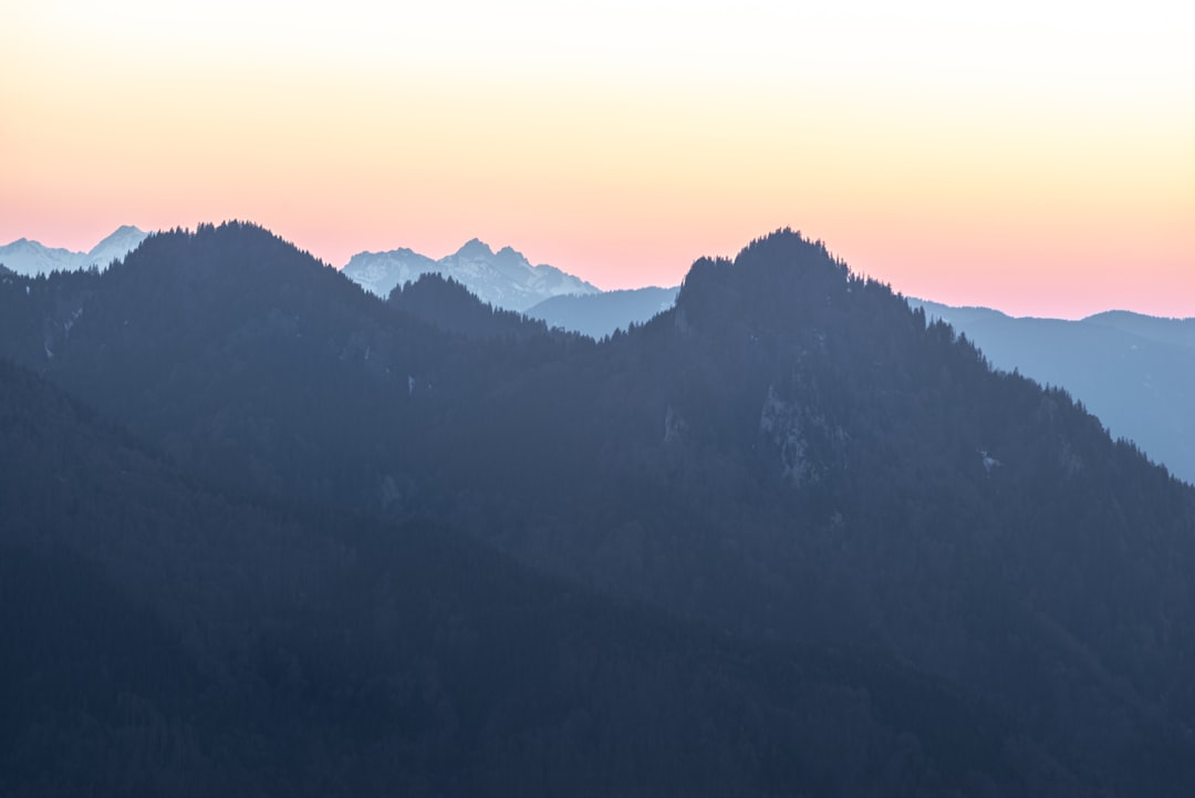
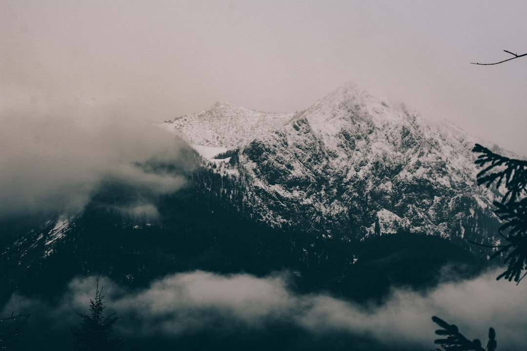
Heimgarten
35 km away from Wolfratshausen
Read the Travel guide View on Google Maps
Rottach-Egern
36 km away from Wolfratshausen
Read the Travel guide View on Google Maps
Schliersee
38 km away from Wolfratshausen
Read the Travel guide View on Google Maps
Vorderriss
39 km away from Wolfratshausen
Read the Travel guide View on Google Maps
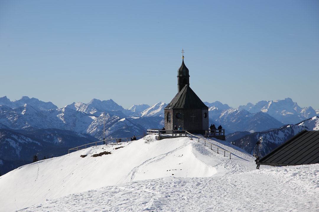
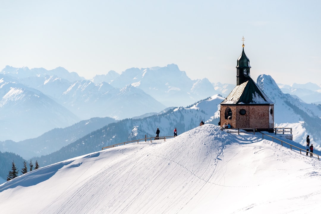
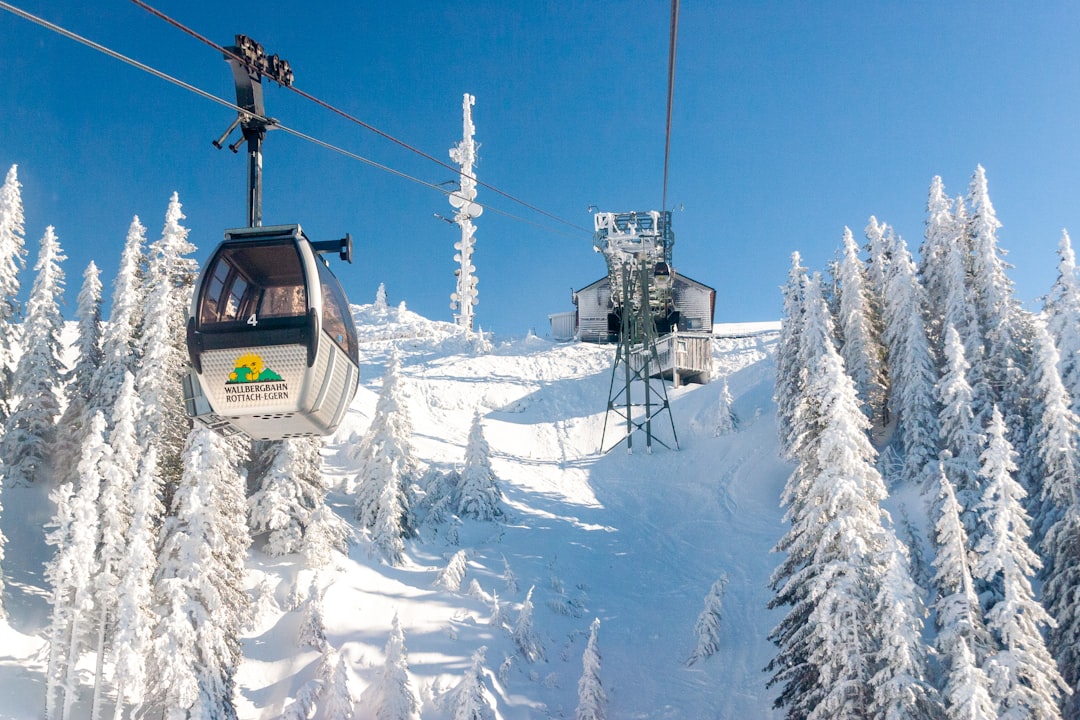
Wallberg
39 km away from Wolfratshausen
Read the Travel guide View on Google Maps
Oberammergau
43 km away from Wolfratshausen
Read the Travel guide View on Google Maps
Skigebiet Spitzingsee-Tegernsee
43 km away from Wolfratshausen
Read the Travel guide View on Google Maps
Roßkopfweg
44 km away from Wolfratshausen
Read the Travel guide View on Google Maps
Fischbachau
45 km away from Wolfratshausen
Read the Travel guide View on Google Maps
Taubenstein
46 km away from Wolfratshausen
Read the Travel guide View on Google Maps
Rotwand
48 km away from Wolfratshausen
Read the Travel guide View on Google Maps
B2
49 km away from Wolfratshausen
Read the Travel guide View on Google Maps
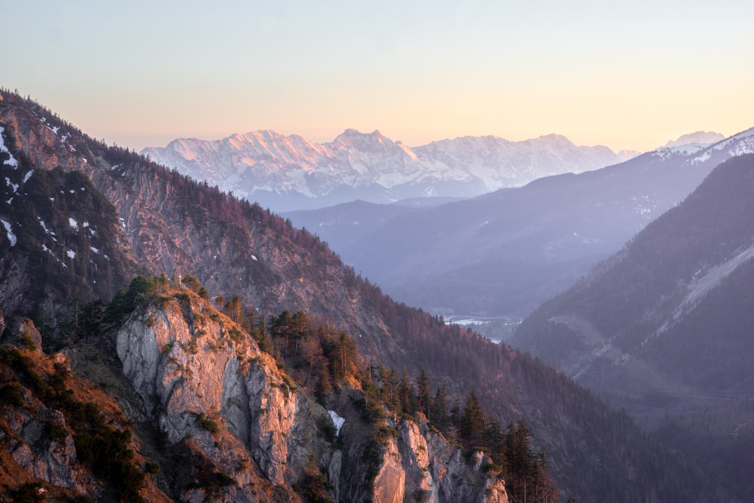
Wank
50 km away from Wolfratshausen
Read the Travel guide View on Google Maps
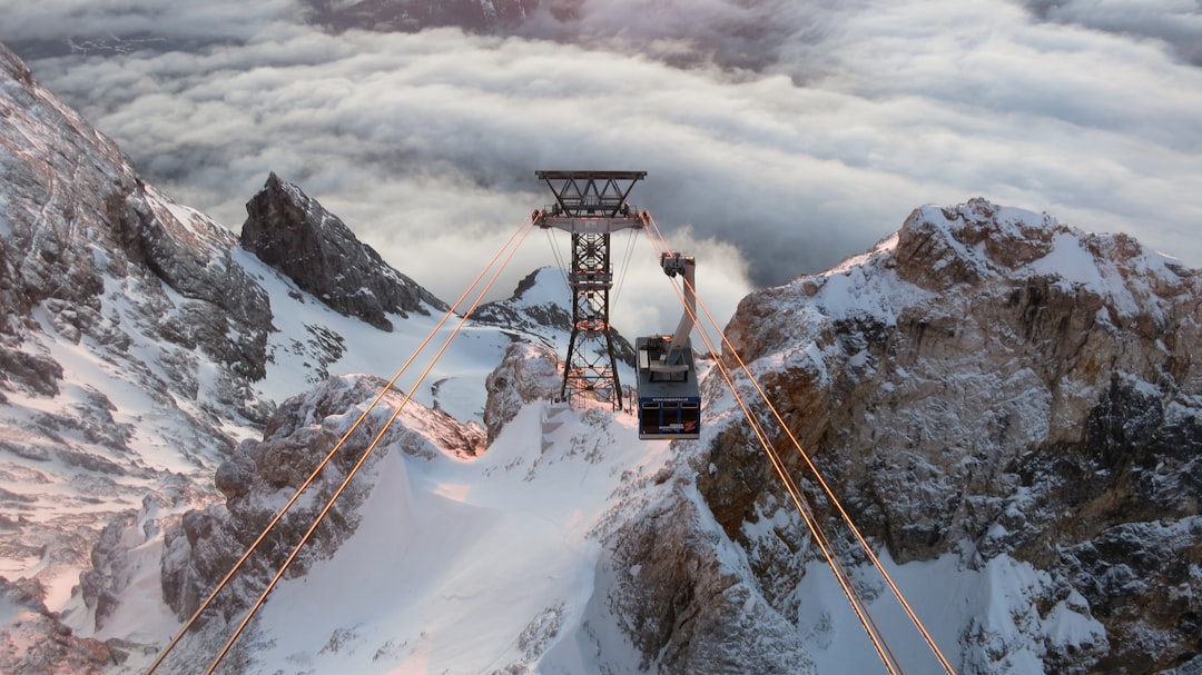
Bayerische Zugspitzbahn Bergbahn AG
53 km away from Wolfratshausen
Read the Travel guide View on Google Maps
Kramerspitz
53 km away from Wolfratshausen
Read the Travel guide View on Google Maps
Unnamed Road
54 km away from Wolfratshausen
Read the Travel guide View on Google Maps
Book your Travel Experience in Wolfratshausen
Discover the best tours and activities in Wolfratshausen and book your travel experience today with our booking partners
Learn More about Wolfratshausen
Find Hotels in Wolfratshausen
Discover the best hotels around Wolfratshausen, Germany and book your stay today with our booking partner booking.com